
The Numbers That Demand Attention
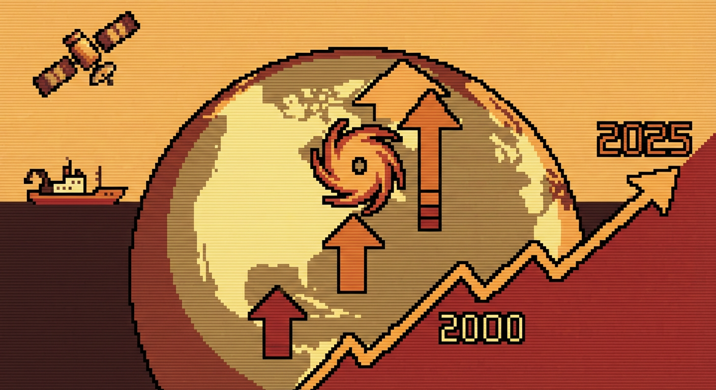
The 2025 Atlantic hurricane season just shattered a record that nobody wanted to see broken. The NOAA 2025 Atlantic Hurricane Season Summary confirmed that insured losses exceeded $130 billion, surpassing the previous record set in 2017. That’s not just a statistical footnote in some obscure meteorological journal. That’s real money, real homes, real lives disrupted across the continental United States. And it gets more specific when you look at the storms themselves: six major hurricanes at Category 3 strength or higher tore through the season, each one a reminder that we’re not watching climate change happen in slow motion anymore.

But here’s what really caught my attention while reading through the latest research at 2am last week: the global picture is even grimmer. Swiss Re’s 2025 sigma report, which tallies natural catastrophe losses worldwide, pegged global losses at around $380 billion for the year. Atlantic hurricane activity alone accounted for the single largest category of losses. This marks the third consecutive year that Atlantic storms have claimed the top spot. We’re not talking about a fluke season or an outlier year. We’re watching a pattern solidify.
The Attribution Science: Proving the Connection
Here’s where it gets scientifically interesting. You’ve probably heard climate scientists say that “we can’t attribute any single storm to climate change.” That was mostly true five years ago. But the field of rapid attribution science has advanced dramatically, and what researchers are finding now is almost unsettling in its precision. Within two weeks of Hurricane Helene’s devastating successor storm in 2025, the World Weather Attribution Science Reports team published findings showing that anthropogenic climate change made peak wind intensity approximately 11% higher and rainfall totals roughly 38% heavier than they would have been under pre-industrial conditions.
Let me put that 38% rainfall figure in perspective. That’s not a rounding error. That’s not within the noise of natural variability. That means climate change literally added more than a third more rain to an already catastrophic storm system. When you’re talking about a hurricane that dumps 20 inches of rain across a region, 38% more means nearly 8 additional inches falling on already-saturated ground. The difference between manageable flooding and community-destroying floods often comes down to inches.
Attribution science works by running climate models under two scenarios: one representing the world as it actually exists now, and another simulating what the world’s weather patterns would look like without human-caused warming. The difference between the two tells you what fraction of a storm’s intensity you can directly link to our greenhouse gas emissions. This methodology has become so refined that researchers can now publish these findings in peer-reviewed journals within days of major storms occurring, rather than months or years later.
The Ocean is Hotter Than We Expected
The engine powering all of this sits in the Atlantic itself. According to NOAA’s Coral Reef Watch data, sea surface temperatures in the Main Development Region of the Atlantic hit record anomalies of plus 1.8 degrees Celsius above the 1991-2020 baseline during the 2025 peak season. That might sound modest, but ocean temperatures don’t need to swing wildly to have dramatic effects on hurricane behavior. The relationship between sea surface temperature and hurricane intensity is roughly logarithmic: each additional degree of warming creates disproportionately more energy available for storm intensification.
Think of the ocean as a battery charging tropical cyclones. Warmer water means more energy stored. Hurricanes are heat engines that convert that thermal energy into powerful winds and heavy rainfall. When you boost the baseline temperature of the ocean by nearly two degrees Celsius across the breeding grounds where Atlantic hurricanes form, you’re fundamentally changing the upper limit of how intense storms can become before they run out of fuel.
Storms Are Migrating Poleward, and That Changes Everything
There’s another dimension to this crisis that deserves more attention than it typically receives. A 2025 study published in Geophysical Research Letters documented something that’s been quietly happening for decades but has now accelerated measurably: tropical cyclones are reaching their maximum intensity at higher and higher latitudes. The research found that storms are shifting poleward by roughly 56 kilometers per decade since 2000. In human terms, storms that historically would have reached peak intensity near the Caribbean are now reaching Category 4 and 5 strength closer to the continental United States.
Why does this matter? Because infrastructure, population density, and emergency preparedness increase dramatically as you move northward into the developed regions of North America. A catastrophic storm reaching full intensity over warm Gulf waters caused damage but was somewhat expected. A storm that intensifies explosively as it approaches the Florida coast or races toward the Carolinas gives less warning time and affects regions with more densely packed coastal development. The migration poleward is like moving the bullseye on a target toward more populated areas.
What This Means for Science, Policy, and Your Own Decisions
The cascade of record-breaking numbers from 2025 tells us something uncomfortable: the climate system isn’t changing in some distant, abstract way that future generations will have to worry about. It’s changing right now in ways that show up in insurance premiums, mortgage rates, evacuation orders, and supply chain disruptions. The attribution science, ocean monitoring data, and poleward migration research all point in the same direction: we’re not just experiencing bigger hurricanes. We’re experiencing a fundamentally altered hurricane system operating in a warmer ocean with different geographic patterns.
What fascinates me most about the current state of hurricane science is that we’ve moved past asking “Does climate change affect hurricanes?” and into much more specific territory: “By how much? In which ways? For which storms? How fast is the system changing?” That’s real scientific progress, even though the answers are sobering. The research community can now give policymakers and emergency managers specific, quantified information about climate risk in near-real time. Whether that information actually changes decisions at the policy level is a separate question, and honestly, a more urgent one.
If you’re tracking these developments, I’d encourage you to dig into the primary research yourself. The attribution reports are surprisingly readable for non-specialists, the NOAA data is publicly available, and the conversation happening across these fields right now is charged with both rigorous skepticism and genuine concern. What patterns are you noticing in your own community? Have you started thinking differently about where climate change shows up in everyday life?